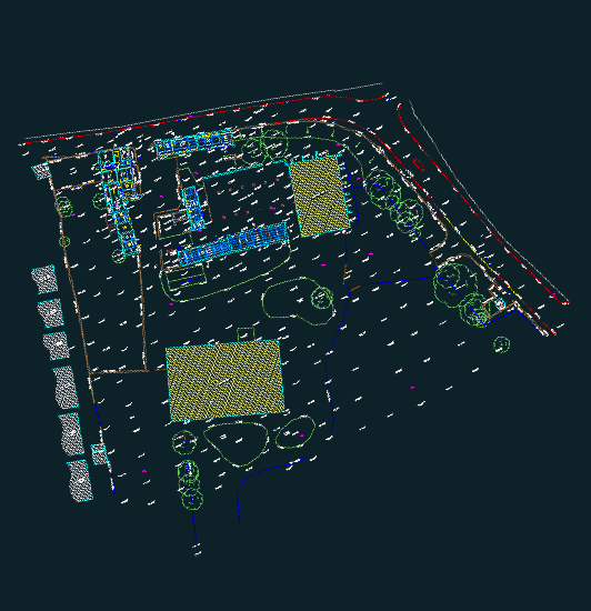
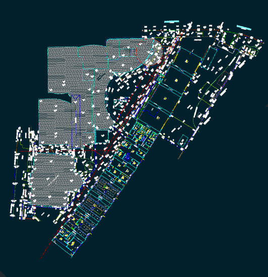
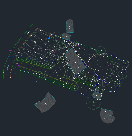
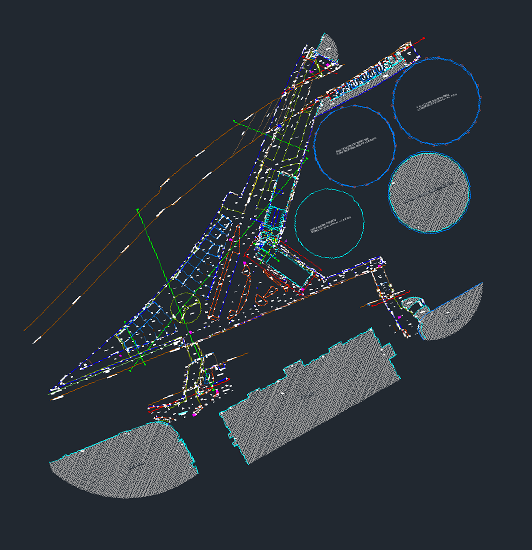
An accurate and up to date land survey is a vital part of any project. The information provided can be utilised during the assessment, planning, design and construction stages.
Topographical surveys consist of above ground mapping which will determine the different man made and natural features on a piece of land, such as trees and vegetation, walls, buildings, fences, services, changes of surfaces and their levels.
This type of survey would be beneficial to home owners, commercial premesis owners or any construction professionals involved in a project. Our drawings are commonly used for planning applications, land registry titles, boundary disputes and area calculation.
Using the latest survey technology allows us to achieve a fast and cost effective measurement of the site with the added advantage of non intrusive measurement of surrounding off site buildings, features and levels.
All our surveyors are fully trained in traditional and modern survey techniques and are highly competent in the use of the latest reflectorless laser technology. Data in the field is collected using the Leica Total Station (TS11) theodolite. The site data is then processed in the office using Liscad software and the final digital drawings are drafted and digitally presented in AutoCad.

We regularly require measured surveys at the outset of our projects. For over five years our preferred surveying company has been Cagney Collins. We have found them to be professional and responsive, and they have coped with a wide variety of project and building types without issue.
--- Kelly Hoppen Interiors
